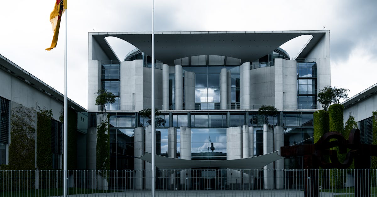
Government facilities should approach low-altitude security as a system design problem, not as a quick equipment purchase. A government campus, office tower, conference center, command room, archive, reception venue, or temporary event site may face different drone-related risks. Until the protected assets, boundaries, responsibilities, and workflows are clear, sensor specifications have limited value.
The goal is not to treat every drone as hostile. Some aircraft may be involved in lawful photography, media work, mapping, inspection, or recreational flying nearby. The real requirement is to know what is in the air, where it is, whether it is approaching a sensitive area, whether it needs confirmation, who should be notified, what evidence should be preserved, and which actions require legally authorized authorities.
Start With Assets And Boundaries
The first step is to identify protected assets: main buildings, meeting rooms, entrances, parking areas, command centers, communications rooms, archives, visitor routes, rooftop equipment, and temporary event zones. These areas do not carry the same consequence, so they should not trigger the same alert level.
Boundaries also need careful definition. Low-altitude risk is not limited to the fence. A drone may launch outside the property and approach from a road, rooftop, plaza, river, or neighboring commercial block. Planning should include ground management boundaries, airspace rules, building line of sight, camera blind spots, and surrounding public areas.
The FAA’s No Drone Zone guidance illustrates a useful principle: local takeoff and landing restrictions are not always the same as airspace restrictions. Laws differ by country, but the planning lesson is broad. Ground authority, airspace rules, and facility security responsibilities should be understood separately.
Use Layered Sensing
A government facility should not rely on one sensor type. Cameras confirm visual appearance but have limited field of view and can be affected by darkness, weather, and obstructions. RF detection can provide control-link or spectrum clues, but depends on emissions and the radio environment. Remote ID supports cooperative identification, but only for participating aircraft. Radar provides physical tracks, but must manage clutter and classification.
A layered architecture is more reliable:
- radar for wide-area detection and continuous tracks;
- RF for radio-frequency clues;
- Remote ID or approved data for cooperative identity;
- EO/IR cameras for visual confirmation;
- and a platform for fusion, zoning, alert levels, logs, and replay.
This turns a vague report into a structured event: a target approached from a known direction, at a measured altitude and speed, entered a defined zone, and was confirmed or not confirmed by another sensor.
Alert Zoning Matters
Government sites should not treat every low-altitude target as the same event. A distant aircraft may only need recording. A target approaching a buffer zone may need operator attention. A target entering a high-priority direction during a major meeting may require escalation.
Rules can combine distance, heading, altitude, speed, dwell time, boundary crossing, Remote ID status, RF match, and EO/IR confirmation. Good zoning reduces nuisance alarms and keeps the duty team focused on events that matter.
Workflows And Authority Come First
The facility should define the duty workflow before an incident occurs. Who receives the alert? Who confirms it? Who informs internal security? Who contacts event leadership? Who communicates with police, aviation authorities, air traffic entities, or other competent agencies? Who preserves the event record?
Legal authority must also be clear. In many jurisdictions, mitigation, interference, takeover, or physical disabling of aircraft is heavily restricted. Ordinary security staff usually cannot perform these actions on their own. This article discusses detection, confirmation, alerting, coordination, and records only. Real response actions should be handled by authorized entities under local law.
Records, Privacy, And Drills
Low-altitude security systems generate radar tracks, video, RF clues, operator logs, and incident reports. A government facility should define retention periods, access rights, masking rules, and review procedures. Cameras should not casually record unrelated private areas, and platforms should avoid turning every minor event into a high-severity incident.
Acceptance testing should be realistic. Open-field maximum range demonstrations are not enough. Tests should include buildings, trees, traffic, rooftop equipment, nighttime operation, rain or haze where practical, authorized drones, and unknown target simulations. Useful metrics include detection probability by sector, time to usable track, camera cueing time, zoning accuracy, false alarm rate, event-record completeness, and operator workload during simultaneous events.
Regular drills matter after deployment. A system that is never exercised may fail as an operating process even if the sensors work. Tabletop and live drills help validate people, procedures, communications, and records.
Conclusion
Government low-altitude security is a combination of rules, sensors, software, workflows, and legal authority. Radar, RF, Remote ID, and EO/IR are all useful, but no single device solves the whole problem. A stronger design defines protected assets first, then builds layered sensing, zoned alerts, lawful escalation, data governance, and realistic drills.
The purpose is not to create panic. It is to turn low-altitude uncertainty into information that can be confirmed, reported, reviewed, and handled through lawful channels.
References
- FAA, No Drone Zone: https://www.faa.gov/uas/resources/community_engagement/no_drone_zone
- DHS, Countering Unmanned Aircraft Systems Fact Sheet: https://www.dhs.gov/publication/st-countering-unmanned-aircraft-systems-fact-sheet
- DHS NUSTL, C-UAS Technical Support Fact Sheet: https://www.dhs.gov/sites/default/files/publications/c-uas_technical_support_fact_sheet_final.pdf