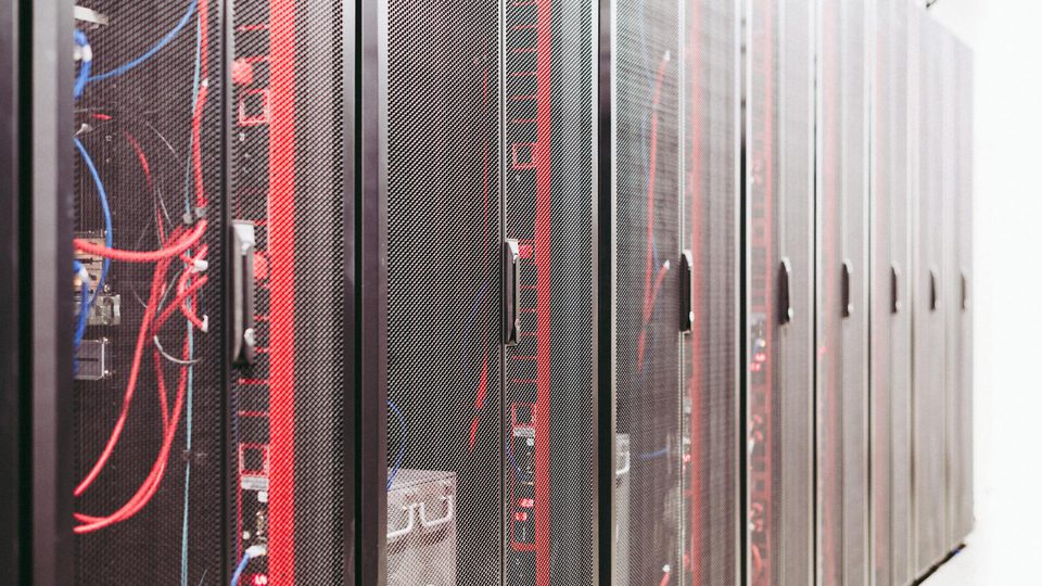
Many data center sites still use a perimeter model that is too flat. Security planning starts at the fence, extends to the gate, and assumes the rest of the site sits inside one protected bubble. That model is no longer good enough for facilities whose risk posture depends on rooftop equipment, service yards, loading access, and low-altitude awareness as much as on pedestrian or vehicle intrusion at grade.
The problem is not that fences have stopped mattering. The problem is that the facility boundary and the operational boundary are no longer the same thing. Cooling infrastructure, roof-mounted systems, generator yards, cable approaches, and overhead flight paths create security geometry that a fence-only mental model cannot represent well.
This article uses a simple zoning framework for execution: fence line, roofline, and airspace. It is not a regulatory standard. It is a deployment model intended to help planners decide where different sensors belong, where delay and response time are actually created, and why a data center perimeter should be designed as layered geometry rather than as one line on a site plan.
Why Data Centers Need Zoning Beyond the Fence
Critical infrastructure security guidance has long emphasized that physical security is not one measure but a layered combination of detection, delay, and response. CISA’s physical-security materials and the CFATS detection-and-delay guidance make this explicit: a site should be able to detect an intrusion early enough and delay it long enough for response to matter.
That principle becomes more demanding in data centers because the critical assets are often distributed:
- at grade in utility yards, loading zones, and fence-adjacent service corridors,
- on the roof in cooling and mechanical structures,
- and above the site in the low-altitude space a drone can use without ever touching the fence.
That is why a fence-only design can look complete on a ground-level drawing while still leaving operational gaps. The perimeter that matters to security is the perimeter that must be observed, verified, and defended in time. For many data centers, that is a three-zone problem, not a one-zone problem.
Fence Line Is the First Zone, Not the Whole Zone Model
The fence line remains the first physical layer because it usually carries the clearest pedestrian and vehicle access boundaries.
At this zone, the main goals are:
- detect approach and crossing attempts,
- slow unauthorized entry,
- preserve line of sight for verification,
- and keep enough stand-off distance for response.
CISA’s layered-security guidance is useful here because it treats the grounds perimeter as a distinct layer with its own detection, delay, and response measures. Applied to a data center, this means the fence should not be treated only as a barrier. It is also a geometry reference for:
- camera sightlines,
- radar masking,
- gate and service-lane ownership,
- and the first decision point in the queue.
Fence-zone failures often come from geometry rather than from device count. Common problems include:
- cameras aimed too low to retain context after a crossing,
- poles placed without regard to service-lane turns,
- gates that generate noisy alerts but weak verification views,
- and blind transitions near corners, berms, or parking areas.
The fence zone therefore needs to be designed with how the operator will verify and hand off events, not only with where the barrier sits.
Roofline Is a Separate Security Zone
Many data center sites are functionally vulnerable at the roofline even when the fence line is well protected.
The roofline matters because it often contains:
- cooling and HVAC structures,
- cable or conduit transitions,
- access ladders and maintenance routes,
- parapet edges and setback surfaces,
- and line-of-sight corridors that are invisible from ground cameras.
This is where a flat perimeter model breaks down. A sensor package designed only around fence crossings may not own roof transitions at all. A target or drone can move into roof-adjacent space, interact with exposed infrastructure, or exploit the fact that ground verification cameras were never positioned to look upward with enough context.
For planning purposes, the roofline should be treated as its own detection and verification zone. That means asking:
- which sensors can see the roof edge and roof equipment clearly,
- whether roof access points are in the same queue logic as fence alarms,
- and whether the operator can distinguish activity on the roof from activity beyond the roof.
In some sites, the right answer may be elevated fixed cameras and carefully chosen PTZ presets. In other sites, radar or airborne-line-of-sight coverage may be needed to give the roofline enough context to be actionable.
Airspace Is a Real Zone, Not a Special Case
For data centers, low-altitude airspace should not be treated as an edge case that sits outside perimeter planning.
DHS C-UAS materials are useful here because they make two points that matter to infrastructure sites. First, drone activity is a real critical-infrastructure concern. Second, the technologies used to detect, track, identify, and evaluate such activity are not interchangeable. That means airspace protection cannot simply be added as a note under fence security.
Airspace has different geometry:
- the approach may begin beyond the property boundary,
- the target may pass over the fence without ever challenging it,
- the critical moment may occur above the roofline,
- and the available response time may be much shorter than for a ground intrusion.
This changes both sensor placement and operational logic. Fence sensors are often optimized around crossings. Airspace sensors must often be optimized around:
- early cueing,
- bearing and altitude awareness,
- and fast verification before the target reaches the roof-adjacent volume that matters most.
That is why airspace should be zoned explicitly. If it is left as a vague overlay on the main map, the system usually ends up under-instrumented and under-rehearsed for overhead events.
The Three Zones Need Different Sensor Logic
The value of zoning is not only cartographic. It changes what each sensor layer is expected to do.
| Zone | Main problem | Strong sensor roles | Main design mistake |
|---|---|---|---|
| Fence line | Ground approach, crossing, gate activity | fence sensors, fixed EO, gate cameras, local radar where needed | assuming a fence alert automatically implies clear verification |
| Roofline | Elevated infrastructure access, roof-edge transitions, equipment exposure | elevated EO, roofline PTZ presets, geometry-aware radar cueing | relying only on ground-facing views |
| Airspace | Overflight, overhead approach, short warning time | radar, RF, Remote ID where relevant, EO verification after cueing | treating drone awareness as an optional add-on outside perimeter design |
This table matters because a sensor can be strong in one zone and weak in another. A well-placed fence camera may do little for roof-edge ambiguity. A radar that helps airspace ownership may not solve roof-mounted blind spots without a good optical handoff. Zoning gives each layer a job that can actually be validated.
Queue and Escalation Should Follow the Zones
The point of zoning is not only better maps. It is better decisions.
Each zone should correspond to a different default response question:
- Fence line: Is this an approach, a crossing, or a nuisance event?
- Roofline: Is the activity interacting with exposed infrastructure or only passing through a visual corridor?
- Airspace: Is the target simply present overhead, or is it converging on a protected asset volume?
That zone-aware question changes what should appear in the queue. A strong queue item should already tell the operator:
- which zone the event belongs to,
- what verification view should open first,
- whether escalation timing is different for that zone,
- and which sensors are expected to contribute evidence.
Without zone-aware escalation, the operator receives many different incidents through one undifferentiated task format. That is exactly how low-priority fence noise can distract attention from a fast airspace event over the roof.
Geometry Drives the Real Quality of the Design
The zoning model is only useful if it is tied to physical geometry.
For data centers, the most important geometry questions usually include:
- fence offset from the actual building face,
- roof height relative to surrounding terrain and nearby buildings,
- line of sight to rooftop plant and service corridors,
- gate and loading-dock approach paths,
- and the sectors from which low-altitude aircraft can arrive with the least warning.
These geometry questions often reveal why a “fully covered” site still feels weak in operations. The issue is not always the number of devices. It is often that the devices were not placed according to the three-dimensional problem the site actually presents.
That is why zoning is a design tool. It turns a general perimeter discussion into a placement discussion.
Common Failure Modes
Several mistakes appear repeatedly in data center perimeter work.
Fence equals perimeter
The site acts as if everything that matters begins at ground level and ends at the barrier.
Roofline is visually visible but operationally unowned
Operators can technically see the roof in some views, but no sensor package is actually assigned to roofline verification.
Airspace exists only as a note in the concept slide
There is no actual sensor, queue, or response logic tied to it.
Zones are drawn but not used
The map contains colors and boundaries, but the queue, presets, and escalation rules do not reflect them.
Verification is weaker than detection
The site can generate alarms in a zone but cannot quickly confirm what is happening there.
These are execution failures, not visualization problems.
Conclusion
Data center perimeter security should be designed as a zoning problem, not as a fence problem. Fence line, roofline, and airspace represent different intrusion paths, different geometry, and different response timing. Treating them as one flat perimeter usually produces blind spots, weak verification, and poor queue discipline.
The practical takeaway is simple. Keep the fence, but stop pretending it is the whole model. Zone the site by where risk actually emerges, place sensors according to that geometry, and make sure the operator queue and escalation logic follow the same structure.