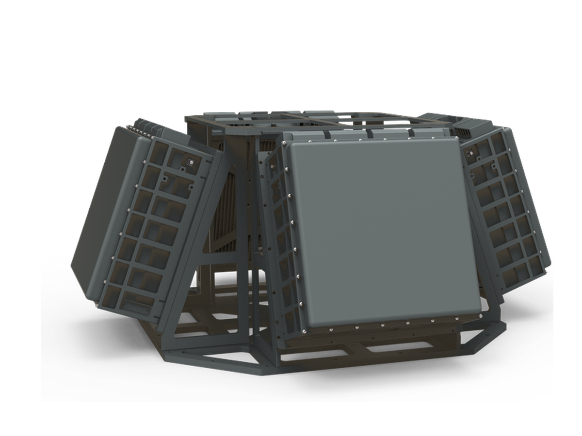
CR-PX15B — X-Band Short-Range Pulse-Doppler Phased Array Radar
X-band short-range phased array radar with AI micro-Doppler classification, detecting consumer drones beyond 3km for infrastructure and urban low-altitude security.
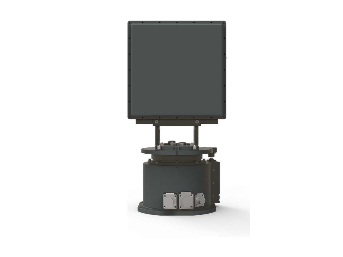
The CR-PX15B is an X-band short-range phased array radar using an all-solid-state, fully coherent pulse-Doppler architecture, delivering all-weather detection and early warning against low, slow and small targets such as consumer drones at ranges beyond 3km (RCS: 0.01m²). Machine-learning classification based on micro-Doppler and track features effectively suppresses false alarms from birds and clutter. The turntable-mounted single panel provides 360° azimuth coverage with elevation coverage configurable up to 60°, making it a flexible low-altitude surveillance node for critical infrastructure, airports and urban security.
When to Choose This Model
Choose the CR-PX15B for 3km X-band perimeter coverage where mixed weather matters: X-band propagation margin keeps detection stable through rain and coastal moisture that can tax the Ku-band CR-PK13B, while mechanical plus electronic scanning covers 360 degrees and a priority sector from a compact 22kg package that a small team can relocate quickly. Choose the CR-PX15C for simultaneous all-azimuth coverage, or the 1.5km CR-PX10B for smaller sites.
Typical Applications
- All-weather perimeter radar for a coastal industrial plant
- Dam, reservoir and hydropower station drone surveillance
- Power station and substation protection in rain-prone regions
- Relocatable security for outdoor exhibitions and race events
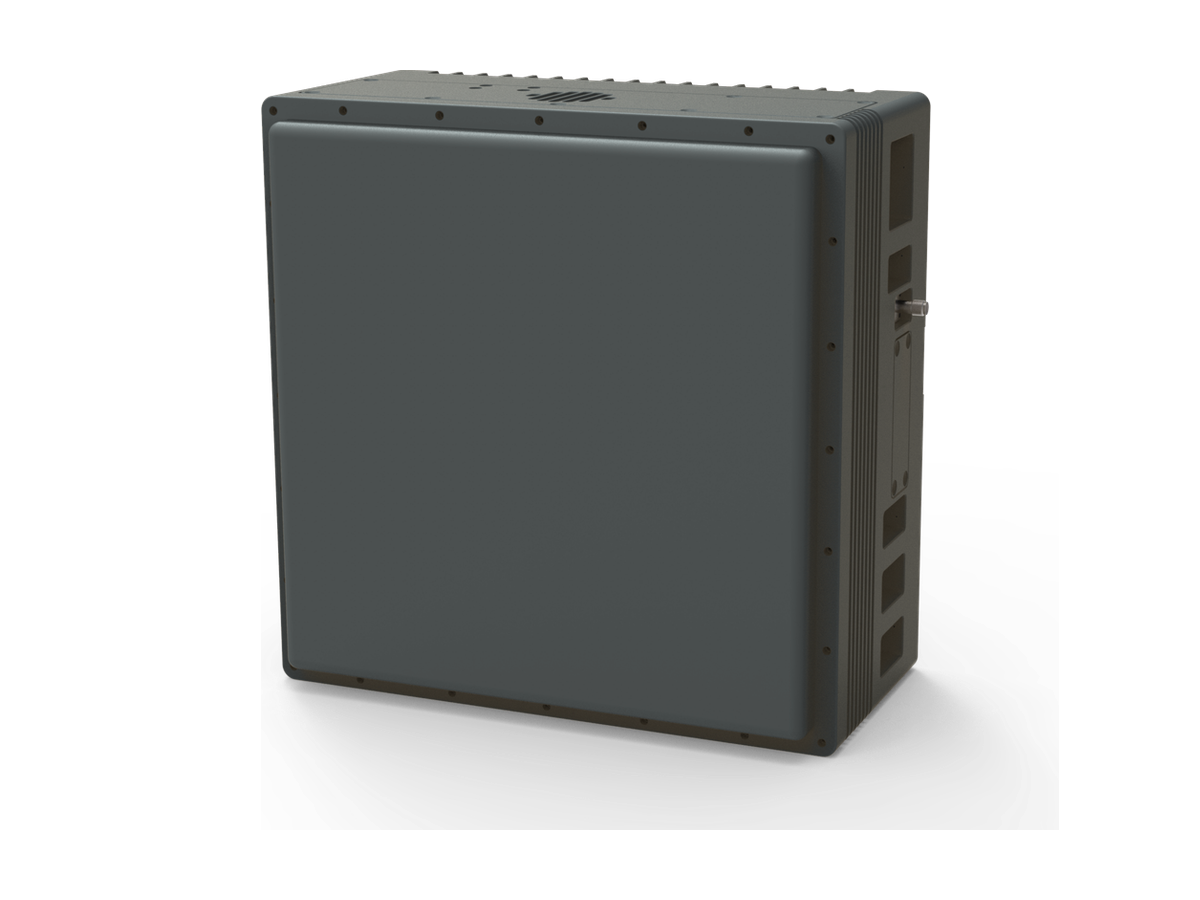
Single-Panel Option for Fixed-Angle Detection
Need to watch a fixed sector rather than scan 360°? The same array is available without the turntable as the CR-PX15A: an 11kg single-panel unit covering a ±45° azimuth sector (elevation 0°~30°, configurable to 60°) for fixed-angle detection on walls, poles and rooftops. Use the inquiry form for the single-panel datasheet.
Key Features
Detection & Coverage
- Strong detection performance with a low false alarm rate; stably detects maneuvering drones;
- Rain and cloud clutter suppression enables all-weather operation;
- One-dimensional mechanical scan plus one-dimensional electronic scan, and full 2D electronic scan modes provide 360° airspace coverage and priority-sector surveillance, switching flexibly without any software change;
- Instrumented range and elevation scan coverage are configurable per mission.
Tracking & Classification
- Mechanical-scan tracking and electronic-scan TAS tracking;
- AI classification based on micro-Doppler and track features distinguishes drones, birds, people and vehicles.
Deployment & Operation
- Machine learning adapts to the site environment — the radar works on installation with no parameter tuning;
- A built-in self-positioning calibration module provides automatic leveling and north finding.
Specifications
| Frequency band | X band (9.2GHz ~ 9.8GHz) |
| Detection range | ≥3km (RCS 0.01m², drone) |
| Blind zone | ≤100m |
| Operating mode | Mechanical scan + 2D electronic scan |
| Search coverage | Mechanical: azimuth 0°~360° Elevation 0°~60° (mission configurable) Electronic: azimuth -45°~45° Elevation 0°~60° (mission configurable) |
| TAS targets | ≥6 |
| Minimum detection altitude | ≤10m |
| Velocity range | 1m/s ~ 100m/s |
| Update rate | Mechanical ≤3s Electronic ≤3s (elevation coverage 30°) |
| Search accuracy (RMS) | Range ≤10m Azimuth ≤0.8° Elevation ≤0.8° |
| Tracking accuracy (RMS) | Range ≤10m Azimuth ≤0.7° Elevation ≤0.7° |
| Target capacity | ≥500 targets |
| Communication | RJ45 Ethernet |
| Power supply | AC220V / DC24V |
| Power consumption | ≤210W |
| Weight | ≤22kg (excl. power adapter and tripod) |
| Dimensions | ≤487 × 253 × 213mm |
| Operating temperature | -40℃ ~ +60℃ |
| Protection rating | IP66 |
Standard Delivery
| Radar array | 1 Unit |
| Servo turntable | 1 Set |
| AC/DC power adapter | 1 Set |
| Ethernet cable | 1 PC |
| GPS antenna (with cable) | 1 Pair |
| Mounting accessories | 1 Set |
| Product certificate | 1 Copy |
| Operation & maintenance manual | 1 Copy |
| Display & control software and communication protocol | 1 Set |
Packing & Logistics
The complete set is packed in 2 cartons with a total gross weight of approximately 40kg.
| No. | Contents | Carton dimensions (L×W×H, mm) | Gross weight |
|---|---|---|---|
| 1 | Radar host (array and servo turntable) | 775 × 440 × 245 | ≈24kg |
| 2 | Power adapter, cables and accessories | 490 × 350 × 320 | ≈16kg |
Suitable Applications

Two architectures for one sector: layered point defence for refineries and LNG plants, and picket-chain coverage for long linear pipeline assets.
Learn More
Protecting Olympic venues, stadiums, concert arenas, and large public gatherings from drone intrusions that endanger crowds and disrupt broadcast operations.
Learn More
Mobile and deployable radar systems providing real-time low-altitude airspace awareness for dignitary protection details, motorcades, and high-value individual security operations.
Learn More
Persistent low-altitude monitoring for CBDs, government districts, and stadium precincts, built from many fused rooftop radar nodes.
Learn More
Protecting R&D facilities, automotive test tracks, and sensitive industrial sites from competitor drone-based aerial intelligence gathering and commercial espionage.
Learn More
Detecting unauthorized aircraft in remote forest and wilderness areas to prevent illegal logging, poaching, wildfire arson, and to support emergency response operations.
Learn More