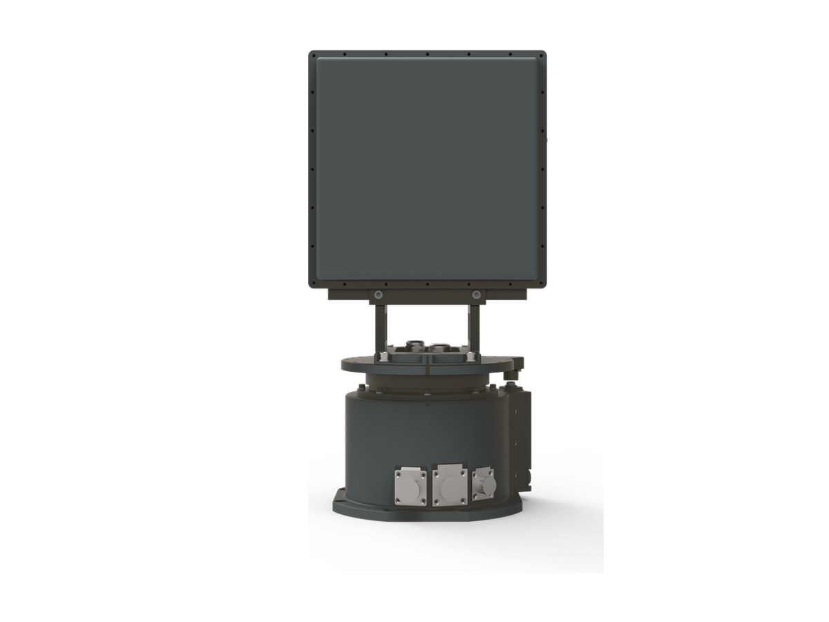
CR-PX15C — X-Band Short-Range Pulse-Doppler Four-Faced Array Radar
3 km-class X-band four-faced array radar providing all-weather 360° low-altitude surveillance for airports, prisons, oil depots and large public venues.
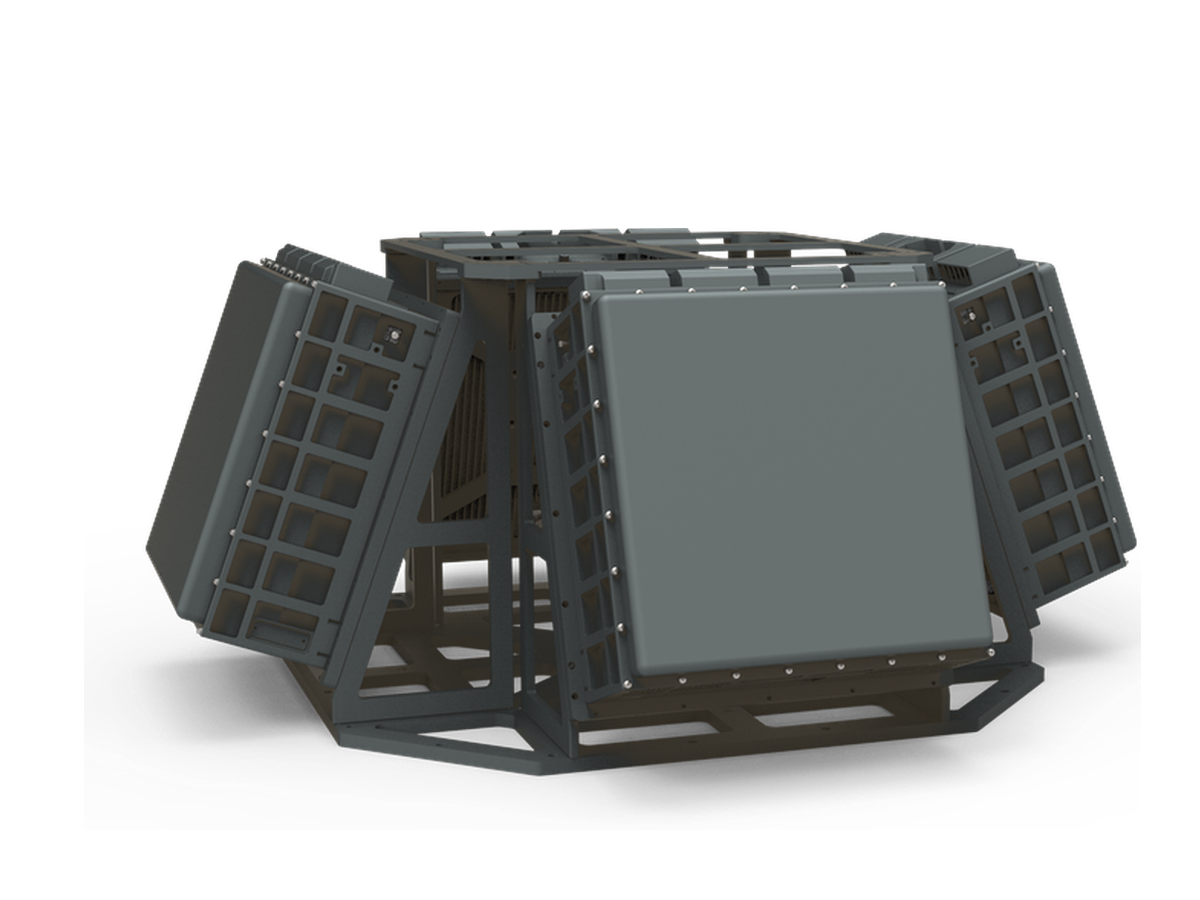
The CR-PX15C is an X-band short-range four-faced array radar built on an all-solid-state, fully coherent pulse-Doppler architecture, delivering all-weather detection and early warning of low, slow and small targets such as drones, light aircraft, helicopters, powered trikes and airships at ranges beyond 3km (RCS: 0.01m²). Four fixed panels provide instantaneous 360° azimuth coverage with no mechanical scanning, elevation coverage configurable from 30° up to 90°, TAS tracking of 24 targets and a 500-target capacity. Machine-learning classification based on micro-Doppler and track features distinguishes drones, birds, people and vehicles with an extremely low false-alarm rate — a set-and-forget low-altitude surveillance node for fixed sites.
When to Choose This Model
Choose the CR-PX15C when a fixed site requires uninterrupted 360 degree X-band coverage to 3km: the four-faced array watches every azimuth simultaneously with no rotating parts and no scan gap, making it a set-and-forget node for campuses, stadiums and critical infrastructure. Choose the turntable CR-PX15B for lighter relocatable use, the 5km CR-PX07C for a wider ring, or the Ku-band CR-PK13C for compact fine-resolution faces.
Typical Applications
- Gap-free 360 degree watch over a university or corporate campus
- Stadium and arena drone defense on event and non-event days
- Critical-infrastructure perimeter for a data center cluster
- Fixed low-altitude security at a garrison entrance zone
Also available for radar-on-the-move (OTM) deployment
This four-faced array radar can also be delivered in a mobile-platform configuration with GNSS/INS motion compensation — maintaining drone detection and tracking while the host vehicle or vessel is on the move. Read the technical deep dive: Radar on the Move (OTM) →
Key Features
Detection & Coverage
- Four fixed panels provide 360° omnidirectional coverage with no mechanical scanning;
- Rain and cloud clutter suppression enables all-weather operation;
- Elevation coverage, target update rate and instrumented range are software-configurable.
Tracking & Classification
- TAS tracking with a default single-target update rate of 0.5s;
- AI classification based on micro-Doppler and track features identifies drones, birds, people and vehicles;
- Map-based target positioning, track display and replay with range, azimuth, elevation and velocity readouts.
Data & Operation
- Records and stores target plots, tracks and radar status data with replay and query support;
- Machine learning adapts to the environment — powers on and works with no parameter tuning;
- Self-positioning and orientation with automatic pitch and roll compensation;
- Real-time operating status monitoring.
Specifications
| Frequency band | X band (9.2GHz ~ 9.8GHz) |
| Detection range | ≥3km (RCS 0.01m², drone) |
| Blind zone | ≤100m |
| Operating mode | 2D phased array (electronic scan) |
| Search coverage | Azimuth 0°~360° Elevation 0°~60° (mission configurable) |
| Tracking | TAS capable |
| TAS tracked targets | ≥24 |
| Minimum detection altitude | ≤10m |
| Velocity range | 1m/s ~ 100m/s |
| Update rate | TWS ≤3s (elevation coverage 30°) TAS ≤0.5s (single target, default) |
| Resolution | Range ≤15m Azimuth ≤6° Elevation ≤12° |
| Detection accuracy (RMS) | Range ≤10m Azimuth ≤0.8° Elevation ≤0.8° |
| Tracking accuracy (RMS) | Range ≤10m Azimuth ≤0.6° Elevation ≤0.6° |
| Target capacity | ≥500 targets |
| Communication | RJ45 Ethernet |
| Power supply | AC220V / DC24V |
| Power consumption | ≤1100W |
| Weight | ≤55kg (net weight, excl. power supply and cables) |
| Dimensions | ≤660 × 660 × 300mm |
| Operating temperature | -40℃ ~ +65℃ |
| Protection rating | IP66 |
Standard Delivery
| Four-faced array radar (complete unit) | 1 Unit |
| Mounting accessories | 1 Set |
| Transport case | 1 PC |
| Product certificate | 1 Copy |
| Operation & maintenance manual | 1 Copy |
| Display & control software and communication protocol | 1 Set |
Packing & Logistics
Reference packing: 6 cartons with a total gross weight of approximately 90kg; carton 6 (structural assembly) is optional and depends on the installation configuration.
| No. | Contents | Carton dimensions (L×W×H, mm) | Qty |
|---|---|---|---|
| 1 | Radar panel 1 | 500 × 430 × 250 | 1 |
| 2 | Radar panel 2 | 500 × 430 × 250 | 1 |
| 3 | Radar panel 3 | 500 × 430 × 250 | 1 |
| 4 | Radar panel 4 and GPS antenna | 870 × 440 × 280 | 1 |
| 5 | Power supply, cables and integrated module | 630 × 540 × 280 | 1 |
| 6 | Optional structural assembly and integrated module | 750 × 750 × 230 | 1 |
Suitable Applications

Securing nuclear power plants, oil refineries, fuel storage depots, and high-voltage substations against drone-based surveillance and physical attack.
Learn More
Protecting approach corridors, runway clearance zones, and terminal airspace from unauthorized drone incursions that endanger flight operations.
Learn More
Shielding government buildings, data centres, and telecommunications hubs from aerial surveillance, signal interception, and drone-delivered payloads.
Learn More
Persistent drone detection for nuclear facilities, where regulators treat unauthorized airspace incursions as design-basis security events.
Learn More
Detecting and tracking drones attempting to deliver contraband — mobile phones, tools, and narcotics — into correctional facilities from outside the perimeter.
Learn More
Counter-drone protection for container terminals, harbours, and energy jetties exposed to launch points on both the land and the sea side.
Learn More