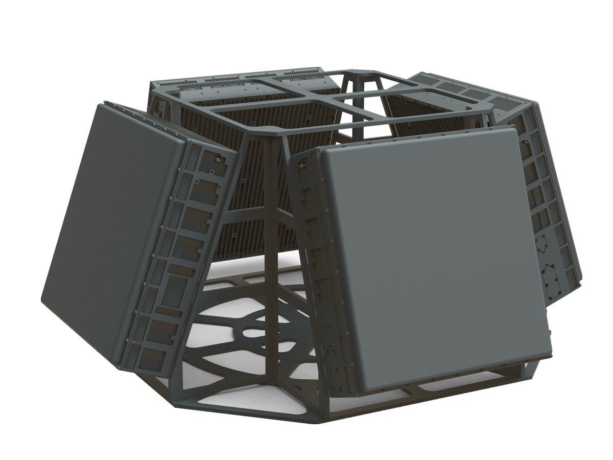
CR-PX16B — X-Band Long-Range Pulse-Doppler Phased Array Radar
New-generation X-band long-range phased array radar with a large-aperture 576-channel array, TWS/TAS tracking and 8km drone detection for counter-UAS networks.
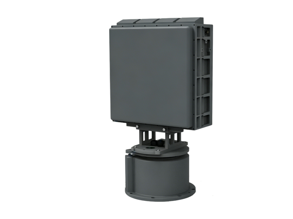
The CR-PX16B is a new-generation X-band long-range phased array radar built around a large-aperture 576-channel digital array, detecting 0.01m² RCS drones at ranges beyond 8km. It combines 2D electronic scanning with 360° mechanical scanning for full-airspace coverage, delivering TWS updates within 5s and TAS tracking updates within 0.5s with azimuth tracking accuracy of 0.3° RMS. The larger aperture platform is suited to wide-area low-altitude surveillance and counter-UAS command-and-control networks.
When to Choose This Model
Choose the CR-PX16B when an 8km X-band deployment needs the newer large-aperture digital array rather than the standard CR-PX08B platform: its 576 channels tighten tracking of maneuvering targets for wide-area surveillance and counter-UAS command-and-control networks while retaining the transportable turntable form factor. Choose the CR-PX08B for a lighter, simpler node, the CR-PX16C for fixed four-faced coverage, or the 10km CR-PX11B for maximum range.
Typical Applications
- Wide-area node feeding a counter-UAS command-and-control network
- Long-endurance border and coastline monitoring post
- Large military base and training-range airspace control
- Multi-sensor coverage for an international airport perimeter
Key Features
Detection & Coverage
- One-dimensional mechanical scan plus one-dimensional electronic scan, and full 2D electronic scan modes provide 360° airspace coverage and priority-sector surveillance, switching flexibly without any software change;
- Three-coordinate target reporting with position parameters (range, azimuth, elevation, velocity) and target type classification;
- Rotation speed and elevation scan coverage are configurable.
Tracking & Classification
- Mechanical-scan stare tracking and electronic-scan TAS tracking;
- Dual target-recognition algorithms based on multiple track features and micro-Doppler technology.
Deployment & Operation
- Machine learning adapts to the site environment — the radar works on installation with no parameter tuning;
- Built-in inclinometer and GPS north finding provide automatic angle compensation and north alignment;
- Target log recording with historical data playback.
Specifications
| Frequency band | X band (9.2GHz ~ 9.8GHz) |
| Detection range | ≥8km (RCS 0.01m², drone) |
| Blind zone | ≤150m |
| Operating mode | Mechanical scan + 2D electronic scan |
| Search coverage | Mechanical: azimuth 0°~360° Elevation 0°~60° (mission configurable) Electronic: azimuth -45°~45° Elevation 0°~60° (mission configurable) |
| Tracking | Mechanical-scan stare tracking / electronic-scan TAS |
| TAS tracked targets | ≥6 |
| Minimum detection altitude | ≤10m |
| Velocity range | 1m/s ~ 100m/s |
| Update rate | TWS ≤5s (mechanical) / ≤4s (electronic) (elevation coverage 30°, range 10km) TAS ≤0.5s (default) |
| Search accuracy (RMS) | Range ≤10m Azimuth ≤0.4° Elevation ≤0.5° |
| Tracking accuracy (RMS) | Range ≤10m Azimuth ≤0.3° Elevation ≤0.4° |
| Target capacity | ≥500 targets |
| Communication | RJ45 Ethernet |
| Power supply | DC24V interface / AC220V converter |
| Power consumption | ≤650W |
| Weight | ≤35kg |
| Dimensions | ≤455 × 720 × 247mm |
| Protection rating | IP66 |
Standard Delivery
| Radar array | 1 Unit |
| Servo turntable | 1 Set |
| Ethernet cable | 1 PC |
| GPS antenna (with cable) | 1 Pair |
| AC/DC power adapter | 1 Set |
| Mounting accessories | 1 Set |
| Operation & maintenance manual | 1 Copy |
| Display & control software and communication protocol | 1 Set |
Packing & Logistics
The complete set is packed in 2 cartons with a total gross weight of approximately 55kg.
| No. | Contents | Carton dimensions (L×W×H, mm) | Gross weight |
|---|---|---|---|
| 1 | Radar host (array and servo turntable) | 775 × 440 × 245 | ≈37kg |
| 2 | Power adapter, cables and accessories | 490 × 350 × 320 | ≈18kg |
Suitable Applications

Detecting drone-assisted cross-border smuggling, contraband delivery, and illegal infiltration along land and coastal border corridors.
Learn More
Protecting military bases and operational compounds from enemy micro-drone reconnaissance, sensor-carrying close-approach platforms, and swarm incursions.
Learn More
Counter-drone protection for container terminals, harbours, and energy jetties exposed to launch points on both the land and the sea side.
Learn More
Acting as aerial traffic control for commercial drone delivery fleets, monitoring compliance with approved flight corridors in urban logistics networks.
Learn More