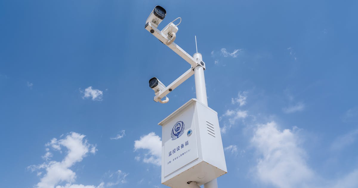
Radar and EO/IR systems often appear together in counter-UAS projects because they solve different parts of the same problem. Radar is strong at detection and tracking. EO/IR is strong at visual confirmation and evidence capture. Radar can tell the system that a low-altitude target exists in a certain direction; EO/IR can help an operator see what that target looks like.
EO/IR usually refers to electro-optical and infrared equipment, including visible-light cameras, long lenses, thermal imagers, pan-tilt units, and tracking algorithms. When radar and EO/IR are integrated well, the operator does not have to manually search a wide video scene for a tiny object. The radar cues the camera toward the target area.
Radar Detects First
Radar’s first value is wide-area search. It can continuously scan low-altitude airspace and detect drones, low-flying aircraft, birds, or other moving objects. Compared with a camera, radar does not depend on visible light and does not need to know where to look before it starts searching.
After detecting a target, the radar creates detections or tracks. A track may include range, bearing, height, speed, direction, and timestamp. This track becomes the basis for cueing EO/IR.
Without radar, an EO/IR camera must rely on manual search or preset patrol patterns. For small drones, that is often inefficient, especially when the sky is complex, the target is far away, or the operator must watch multiple sectors.
EO/IR Confirms and Records
Radar can indicate that a target exists, but it may not directly identify the model, appearance, payload, or even whether the object is truly a drone. EO/IR turns the radar event into visual information.
Visible cameras are useful in daylight and good visibility. Long lenses can enlarge a small target at distance. Thermal imagers are useful at night, in low light, or against some complex backgrounds, but they are still affected by distance, weather, target heat signature, and optics.
After EO/IR confirmation, the operator can judge whether the target resembles a drone, whether it has entered a sensitive area, whether the alert should be escalated, and whether images or video should be saved for review or enforcement support.
The Basic Handoff Workflow
A typical workflow is:
- radar detects a low-altitude target and creates a track;
- the command platform checks whether the target enters a warning zone or meets alert rules;
- the system converts target coordinates into camera pan and tilt commands;
- the EO/IR gimbal points toward the target area and searches or tracks;
- the operator confirms the target visually and the system records the event.
This sounds simple, but the engineering details matter. Radar coordinates, camera coordinates, installation location, timestamps, geodetic coordinates, height reference, and mechanical zero positions must be consistent. If any part is misaligned, the camera may point near the target but fail to see it.
Why Camera Cueing Can Miss
If the camera does not immediately see the target after a radar alert, it does not automatically mean the radar was wrong. Common causes include:
- the target is too far or too small for the current lens;
- the camera field of view is narrow and coordinate error places the target outside the frame;
- buildings, trees, poles, towers, or terrain block the camera line of sight;
- haze, backlight, rain, snow, or thermal background reduces image quality;
- radar height estimate or target altitude error creates an elevation offset;
- gimbal speed, acceleration, or auto-tracking cannot keep up with the target;
- in multi-target scenes, the platform assigns the camera to a different priority target.
This is why integration should be evaluated by actual cueing success, time to confirmation, and operator experience, not just by whether an interface exists.
Coordinate Calibration Is Critical
Radar often reports target range, bearing, and height relative to the radar. The EO/IR gimbal needs pan, tilt, and zoom commands in its own coordinate system. The platform must convert correctly between them.
That requires accurate installation location, device orientation, gimbal zero position, radar north alignment, time synchronization, and site coordinates. If radar and camera are installed in different places, the baseline between them must also be considered. For nearby targets, baseline error can be significant.
Site calibration is not optional. A system with strong device specifications but poor calibration may deliver a frustrating handoff. A carefully calibrated and tested system can greatly improve first-pointing success.
Alert Rules Decide What Operators See
Not every radar point should immediately move the camera. Real sites may include birds, vehicles, vegetation, construction equipment, and other effects. If every detection cues the EO/IR, the gimbal will swing constantly and operators will lose trust.
A better approach is to let the platform decide based on zones, speed, heading, target type, confidence, and threat level. Targets entering a warning zone can take priority. Targets approaching a core asset can take priority. Stable tracks can take priority over isolated points.
If the site has multiple EO/IR units, the system also needs assignment rules: which camera is closer, which has line of sight, whether it is already tracking another target, and whether it has night capability. These rules directly affect operational value.
What Buyers Should Test
When evaluating radar and EO/IR integration, ask:
- How long does it take from radar alert to EO/IR pointing at the target area?
- What is the first-cue success rate at different ranges, heights, and directions?
- Can the system confirm targets in daylight, night, rain, haze, or backlight?
- Does the platform show radar tracks, camera view, and event record in one workflow?
- Can calibration, time synchronization, and device health be checked?
- In a multi-target event, how does the system decide which target the camera follows?
- Can operators take manual control, use auto-tracking, and replay the event?
- Does testing include real site blockage and clutter, not just open-field conditions?
These questions are more valuable than comparing radar range and camera focal length separately.
For a module-level imaging perspective that complements this radar and system discussion, see EO/IR Gimbal Design: Selecting the Right Imaging Core, including the relevant optical, thermal, and integration considerations.
Conclusion
Radar and EO/IR are not substitutes in a counter-UAS system; they are a handoff. Radar provides wide-area detection and tracking. EO/IR provides visual confirmation, identification support, and evidence. The quality of the handoff determines whether the system turns a dot on a screen into an event an operator can understand and act on.
A strong solution designs radar, EO/IR, alert logic, coordinate calibration, and command software as one workflow. Only when the full workflow works under real site conditions does the low-altitude security system become operationally useful.