
“Passive versus active detection” sounds like a simple sensor comparison, but in the counter-drone market the word “passive” is used loosely enough that buyers routinely compare products that are not really the same kind of system. Disambiguation comes first, because everything else follows from it.
When a counter-UAS vendor says “passive detection,” they almost always mean passive RF detection: radio receivers that listen for the control links, telemetry bursts, and video downlinks between a drone and its operator. Military teams call the same function electronic support measures, or ESM. “Active detection” means radar — the sensor transmits its own waveform and processes what comes back.
Two other legitimate uses of “passive” are worth separating. EO/IR cameras are passive sensors — they watch reflected light and emitted heat — but cameras are normally assessed as their own verification layer. Passive radar, sometimes called parasitic radar, is a genuinely different technique: it borrows third-party transmitters, such as broadcast or cellular towers, as illuminators and processes their reflections in a multistatic geometry. It is real, but coverage depends entirely on where those illuminators sit, and it is not what mainstream “passive drone detection” products are. Our beginner’s guide to passive detection maps out the full sensor family; this article uses the terms the way the market does.
How passive RF detection works
One or more antennas collect radio energy from the surrounding environment; wideband receivers digitize it; software compares what it hears against a library of known drone waveforms — control protocols, analog and digital video links, telemetry, and broadcast identification such as FAA Remote ID. When a signature matches, the system reports the band, the protocol, sometimes manufacturer clues, and usually a bearing.
That last point deserves emphasis. A single passive node listens; it does not measure range. Bearing-only data indicates a direction, not a position. Locating the transmitter — the drone, and often the pilot on the ground — normally requires several time-synchronized nodes running angle-of-arrival or time-difference-of-arrival geolocation, which is a separate design and cost decision, as discussed in our AOA vs TDOA vs FDOA comparison. Encrypted links cannot be decoded, but their energy and timing structure can often still be recognized.
How active detection works
Active radar supplies its own energy — NASA’s remote-sensing guidance draws the line exactly there. The radar transmits, receives echoes, and measures range, bearing, elevation, and speed directly, so a single node produces a georeferenced track without any cooperation from the target. Modern counter-UAS radars also exploit the micro-Doppler signature of spinning rotors to separate drones from birds. The radar’s hard problems are small radar cross-section, low-altitude clutter, and line-of-sight blockage — not whether the drone is transmitting.
The decisive limitation: silent and autonomous drones
Passive RF detection is conditional on the target radiating. A drone flying a preloaded GNSS waypoint mission with its control link and video off, or an aircraft that has lost its link and is executing autonomous return-to-home, emits nothing for the receiver to hear. No signal means no detection, regardless of receiver quality.
This is not a corner case. Waypoint autonomy is standard on mid-range commercial aircraft and is the natural mode for smuggling runs, mapped overflights, and deliberate attacks. Low-power links, aggressive frequency hopping, nonstandard protocols, and new models absent from the waveform library erode performance further even when energy is present. Active radar does not share this failure mode: it sees the physical airframe whether or not the radio is switched on. That single asymmetry is the most important fact in the passive-versus-active decision.
Coverage and geometry
The two systems cover space in fundamentally different ways, which makes their advertised “range” numbers difficult to compare directly.
| Design question | Passive RF detection | Active radar |
|---|---|---|
| What one node outputs | Alert, protocol clue, bearing | Full 3D position and track |
| Locating the target | Requires multiple synchronized nodes | Built into a single node |
| Earliest possible cue | Can hear the controller before takeoff | Airborne target inside the search volume |
| Coverage boundary | Wherever recognizable signals arrive — hard to bound | A defined, plannable search volume |
| Main geometry risk | Multipath, obstructions, node placement | Line of sight, terrain, structures |
RF can sometimes hear a ground controller over a rooftop the drone has not yet crossed, which makes it a valuable early-warning layer. But a coverage drawing for a passive network really means “area from which recognizable signals can arrive,” and it shifts with every new building and firmware release. Radar coverage is a deliberate search volume an operator can draw geofences and alert zones inside.
False alarms come from different populations
Neither technology is alarm-free; the difference is what the alarms are made of. Passive RF contends with Wi-Fi, cellular traffic, IoT devices, push-to-talk radios, and drone-adjacent chipsets turning up inside unrelated consumer hardware, and its classification quality tracks the freshness of the waveform library. Radar contends with birds, insects, vehicles, moving vegetation, and weather, which is why micro-Doppler classification and track behavior carry the load. The useful question is not which posts a smaller number on a datasheet, but which alarm population your operators can triage in your environment.
Deployment: emissions, siting, and spectrum
An active radar transmits, and that creates obligations passive systems avoid: frequency coordination or licensing in many jurisdictions, electromagnetic-compatibility analysis around airports and existing radio systems, and an electronic signature that a sophisticated adversary can detect or geolocate. It also requires disciplined line-of-sight siting.
A passive RF node transmits nothing, needs no emissions license, and can be mounted almost anywhere with power and backhaul. But the system-level bill of work is different: useful geolocation needs several synchronized nodes, urban sites need multipath surveys, antenna placement changes bearing accuracy materially, and the protocol library is a living database that must be updated as new drones ship — often under a recurring subscription. In deployment terms, passive sensing shifts cost from the radio to the network.
Cost: compare at system level, not per box
A passive RF node is usually cheaper and lower-power than a radar, which makes RF-only proposals look attractive line by line. The honest comparison is the cost of a working capability. One radar delivers standalone tracks, while a passive deployment that must also locate pilots needs multiple nodes, site surveys, integration, and ongoing library maintenance. Budget the architecture, not the appliance.
Why mature sites run both
Active and passive layers fail differently, which is exactly why serious sites deploy both and add EO/IR on top. A typical sequence: RF hears controller activity early and may locate the pilot; radar confirms the airborne track regardless of emissions and raises a geofence alarm; the radar track cues a camera for visual evidence; Remote ID, when present, adds identity. When RF hears nothing, the radar can still alarm — and the operating procedure must treat “no RF signal” as “possibly autonomous,” never as “all clear.” The full head-to-head workflow is covered in our radar vs RF detection comparison, and the MIT Lincoln Laboratory introduction to radar systems is a solid grounding on the active side.
Questions buyers should ask
- Does the live test include fully autonomous, link-off, video-off flight? If every scenario uses a radiating consumer drone, the demonstration is built around passive sensing’s best case.
- Is the quoted RF range a bearing range or a located position — and how many nodes, at what spacing, does positioning require?
- How often is the waveform library updated, what are the subscription terms, and how are drones not in the library flagged?
- What frequency licensing or electromagnetic-compatibility work does the radar require at this specific site?
- What false-alarm rate was measured in our spectrum environment and our bird environment, rather than on the vendor’s test range?
- Does the command platform fuse radar and RF into one correlated track, or do operators watch separate screens?
- Will site acceptance include silent flight, a crowded RF background, and low-altitude blockage as written pass/fail conditions?
Bottom line
Passive versus active is not old-versus-advanced technology; it is listening versus illuminating. Passive RF is quiet, inexpensive per node, rich in link and operator context — and blind to any drone that does not radiate. Active radar costs more, emits, and requires spectrum coordination, but it searches a defined volume on its own terms and sees silent, autonomous aircraft. Resilient counter-drone architectures are layered precisely because those weaknesses do not overlap. The vendors worth trusting will demonstrate both — including scenarios where their own sensor contributes nothing.
Further Reading
- NASA Remote Sensing Educational PDF - Clear official explanation of the active/passive sensing distinction.
- FAA Remote ID - Useful for understanding one important form of passive RF-based awareness.
- MIT Lincoln Laboratory: Introduction to Radar Systems - Background on active radar sensing and why it remains central to surveillance.
Need Counter-Drone Radar for Your Site?
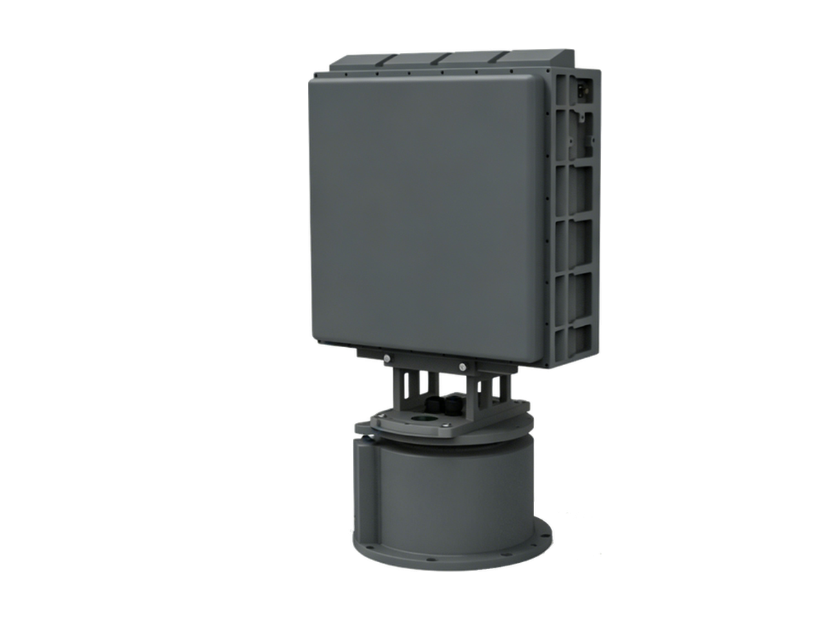
CR series low-altitude surveillance radars detect RCS 0.01 m² drones at 3–10 km and classify targets by micro-Doppler — every track outputs with target class and confidence.