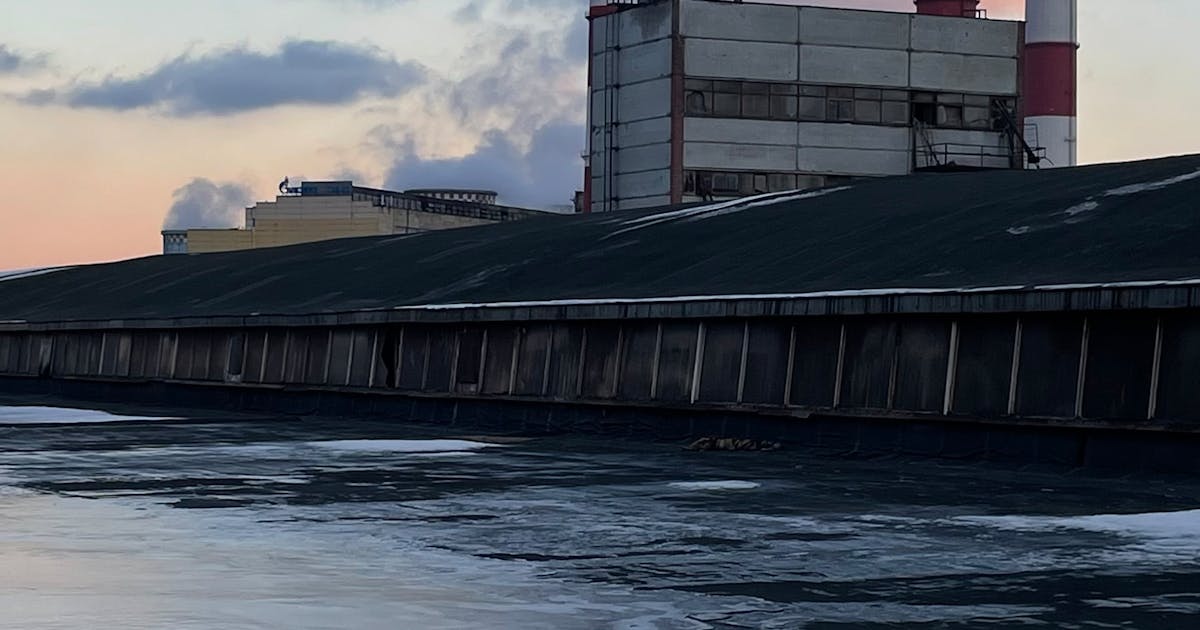
Power plants need counter-UAS radar not because every drone is malicious, but because power plants are high-consequence energy facilities. When a low-altitude drone approaches a critical area, it can create security, operational, compliance, evidence, and public-impact concerns. For a continuously operating generation site, knowing what is in the air, where it is, and whether it is approaching a sensitive zone is far more valuable than discovering the event afterward.
The first value of counter-UAS radar is low-altitude situational awareness. Radar can continuously detect small aerial targets across a broad area and provide position, altitude, speed, heading, and track trend so that operators have time to assess the event and cue other sensors.
Power Plant Risk Is Not Generic Campus Risk
Power plants contain zones with very different operational meaning: control buildings, switchyards, fuel or material areas, cooling systems, generation-related areas, maintenance gates, offices, and outer approach roads. A drone near each of these areas does not create the same level of concern.
A drone briefly passing far outside the site should not be treated the same as a drone approaching a critical equipment area along the perimeter. Power plants need monitoring that connects low-altitude targets with zones, direction, distance, and behavior, not just a generic message that something is flying.
This is where radar helps. It does not only detect a target. It builds a continuous track that helps the system judge whether the target is approaching, hovering, crossing a boundary, or entering a priority sector.
Low-Altitude Drones Create Multiple Management Pressures
An unauthorized drone can create a security concern. It may observe sensitive areas, interfere with maintenance or emergency activity, or complicate temporary construction and inspection work. Even if no direct damage occurs, the plant may need to know the event time, path, closest approach, and duration for review and reporting.
At large energy facilities, response must also consider operational continuity. Security action cannot be separated from plant safety and operations. A low-altitude target near different zones may require different levels of confirmation, notification, and coordination. Radar track data provides a common basis for that decision.
The point is not to create alarm. The point is to reduce uncertainty. Radar turns “someone may have seen a drone” into “the system recorded a target approaching from this direction, at this height and speed, within this distance of this zone.”
Why Cameras Alone Are Not Enough
Cameras are essential for confirmation. PTZ and EO/IR systems can help operators identify the target visually. But cameras have limited fields of view and usually need to know where to look. Darkness, glare, fog, rain, obstruction, and small distant targets can all reduce visual confirmation performance.
Without radar or another wide-area detection layer, a camera may begin tracking only after the target is already close or after a person notices it. For power plants that need warning time, that is often too late.
Radar can act as the wide-area detection layer. It provides bearing and track data first, then cues EO/IR cameras for confirmation. The camera moves from “search everywhere” to “look at this track,” which makes the operator workflow much more efficient.
Why RF Detection Alone Is Also Limited
RF detection can identify some drone control, telemetry, or video links. It is valuable when a drone is emitting recognizable signals. But RF detection depends on the radio environment. If the signal is weak, the spectrum is congested, the drone follows a pre-planned route, or the communication pattern is difficult to classify, RF may not provide a reliable spatial track.
Radar does not depend on the drone actively transmitting a communication signal. When the target is within detectable conditions, radar can provide physical position and movement data from its return. That makes it one of the core sensing layers for power plant low-altitude security.
The stronger architecture is not radar versus RF. It is radar, RF, and EO/IR working together: radar gives the track, RF gives signal clues, EO/IR gives visual confirmation, and the platform turns those inputs into an actionable event.
Zone-Based Alarms Fit Power Plants Better
Power plants should not treat every low-altitude target as the same event. A better approach is to set alarm rules by zone and consequence. A target far from the plant may be logged at low priority. A target approaching the perimeter may create an advisory. A target entering a priority direction or protected zone may escalate and cue a camera.
Zone rules can consider:
- distance to critical areas
- crossing of perimeter or buffer zones
- whether heading remains toward the site
- altitude and speed consistent with low-altitude drone behavior
- hovering, loitering, or repeated approaches
- supporting confirmation from RF and EO/IR
This reduces unnecessary alarms and keeps operator attention on events that actually need action.
Radar Supports Evidence and After-Action Review
Power plant security needs event records as well as real-time alerts. Radar tracks help answer where the target came from, where it moved, how long it stayed, how close it came to critical areas, whether it appeared more than once, and whether the record matches other sensors.
These records support internal review, shift handover, incident reporting, and long-term rule tuning. In facilities with authorized inspections, nearby aerial work, or temporary construction, track records also help separate normal activity from unusual activity.
A security system without records is hard to improve. Counter-UAS radar turns low-altitude events into data that can be replayed, analyzed, and verified.
Deployment Must Reflect the Real Plant Environment
Power plant environments often include large metal structures, pipe racks, equipment rooms, stacks, cooling facilities, transmission interfaces, road vehicles, and construction activity. These factors affect line of sight, clutter, and installation choices.
Before deploying counter-UAS radar, a power plant should conduct a site survey and coverage design. Key topics include candidate mounting points, low-altitude obstructions, priority sectors, power and network access, grounding and lightning protection, EO/IR integration, platform display, and acceptance testing. Complex sites may require multiple radars or added coverage for priority sectors.
During procurement, the better question is not only “How far can it see?” The more important question is: in this real plant environment, which zones can be covered reliably, where are the blind spots, and how will the system confirm, escalate, and record an event?
Conclusion
Power plants need counter-UAS radar because low-altitude drone events are different from ordinary security events. They occur in the air, may approach sensitive areas quickly, may not be detected early by human observation or cameras, and may not always provide useful RF signals.
Counter-UAS radar gives power plants wide-area low-altitude detection, continuous tracking, zone-based alarms, EO/IR cueing, and event records. Its value is not merely “finding drones.” It helps turn low-altitude uncertainty into information that can be confirmed, escalated, reviewed, and used to support safe operations.