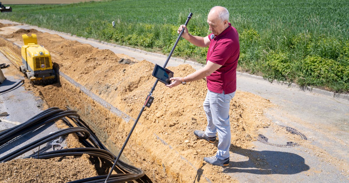
A site survey before low-altitude radar deployment can determine whether the system will be useful after installation. Many projects focus on detection range, coverage angle, and classification capability during procurement. Once the radar is installed at a real site, however, buildings, trees, terrain, roads, metal structures, power, networking, and maintenance access all affect performance.
A proper survey is not just a short visit with a few photos. It should connect the mission, the low-altitude environment, installation conditions, sensor integration, and acceptance criteria so that design, construction, and testing are based on the same assumptions.
Define the Protected Asset and Alarm Boundaries
The first step is to confirm what the system must protect. Is the protected object a single asset, a perimeter, a campus, or a temporary event area? Which zones require early warning, and which zones only require close-in confirmation? At what boundary should an alarm be raised, and at what boundary should the event escalate?
These decisions directly affect radar placement and coverage priorities. A vague requirement such as “cover the whole site” often produces a design that looks complete but lacks operational focus. A better survey marks the core zone, buffer zone, likely approach paths, authorized drone areas, false-alarm-sensitive areas, and response restrictions.
The survey report should show these areas on a map or site drawing, not only describe them in text.
Check Low-Altitude Line of Sight and Obstructions
For low-altitude radar, the most difficult issue is often not long range. It is blocked low-altitude visibility. A drone may approach along gaps between buildings, tree lines, waterways, roads, or outside a perimeter wall. If the radar is masked by a nearby building, slope, tree, billboard, crane, equipment room, or large vehicle, the most important direction may become a blind spot.
The survey should record:
- candidate mounting point height and surrounding obstructions
- buildings, trees, terrain, and tall equipment in priority sectors
- whether low-altitude corridors are cut off by near-field obstacles
- perimeter corners, building backsides, entrance routes, and low ground
- temporary obstructions that may change with seasons or construction
When possible, combine the survey with terrain and building-height modeling. For critical areas, verify the assumptions later with test flights or standard targets.
Identify Clutter and False Alarm Pressure
Low-altitude environments are rarely clean. Road traffic, moving trees, water reflections, cranes, fans, rotating equipment, metal roofs, containers, port machinery, and dense buildings can all create clutter or false alarm pressure.
The survey does not have to eliminate every source of clutter, but it should identify where they are and how they may affect the system. A busy road may generate many moving targets. Water may create strong reflections. A tree line may become more active in high wind. Construction machinery may change the site background over time.
This information influences radar orientation, mounting height, filtering strategy, alarm zones, and EO/IR confirmation rules. For operators, false alarms are not an abstract metric. They shape whether the system can be worked with every day.
Confirm the Mounting Platform and Structure
A candidate site is not ready just because there is physical space. The survey must check structural load, wind exposure, vibration, fixing method, safe maintenance access, cable routes, and equipment orientation.
Common platforms include rooftops, fixed masts, communication towers, wall poles, vehicle-mounted lifting masts, and temporary tripods or frames. Each has different risks. Rooftops require checks for waterproofing, load, and cable paths. Masts require wind and service safety checks. Temporary supports require stability and protection. Vehicle deployments require positioning, leveling, power, and repeatable setup procedures.
If the platform vibrates or moves, track stability and sensor handoff can be affected. A good survey exposes these engineering issues before installation begins.
Check Power, Network, Grounding, and Lightning Protection
Even the best radar position is not useful if power and network access are unreliable. The survey should confirm power capacity, backup power requirements, cable distance, network bandwidth, link redundancy, equipment cabinet needs, temperature control, waterproofing, dust protection, and security separation.
Because radar is often installed high or in exposed locations, grounding and lightning protection are especially important. The survey should check whether a usable grounding point exists, whether the grounding path is suitable, whether surge protection is required on cables, and whether the new equipment creates any safety issue with existing low-voltage systems.
These topics may look less exciting than detection range, but they determine whether the system stays online.
Survey EO/IR, RF, and Platform Integration Together
Low-altitude radar deployment is usually not a single-device project. After radar detects a target, can the EO/IR camera slew to it? Is the camera’s view blocked? Does the RF detection layer cover the same area? Can the command platform receive tracks, show them on a map, record logs, and trigger alarms?
If these integration conditions are not surveyed together, the project may later discover that the radar can see a target but the camera cannot, or that the radar has a track but the platform cannot correlate it, or that the local alarm works but the control room does not receive it.
The survey should therefore include sensor geometry, data links, time synchronization, coordinate references, operator positions, alarm display, and event logging.
Deliver Actionable Survey Outputs
The value of a survey depends on its deliverables. A practical package should include at least:
- protected asset and zone map
- photos, coordinates, and heights of candidate mounting points
- major obstruction and low-altitude blind spot notes
- coverage assumptions for priority sectors
- clutter sources and false alarm risk list
- mounting, power, network, grounding, and lightning conditions
- EO/IR, RF, and platform integration conditions
- recommended and backup installation points
- construction risks and owner-side dependencies
- flight test or standard target acceptance plan
If the output is only a folder of site photos, designers, installers, and acceptance teams will struggle to work from the same assumptions.
Conclusion
A site survey before low-altitude radar deployment should connect the mission requirement with the real environment. It must examine protected assets, approach corridors, obstructions, clutter, mounting platforms, power, network, grounding, lightning protection, service safety, and multi-sensor integration.
A good survey report should answer three questions: why the radar should be placed there, which areas can and cannot be covered, and how the result will be verified by testing. When those questions are answered, radar deployment moves from catalog specifications to a maintainable, testable, operational low-altitude security capability.