“Can a 2D radar protect my site, or do I need to pay for 3D?” The honest answer depends on what has to happen after the radar detects something. If you only need to know that an object exists and which direction it is coming from, a 2D radar can be a rational, lower-cost choice. If anything downstream needs to know how high it is — an operator slewing a camera, an interceptor, a jammer, an airspace deconfliction decision — the missing dimension starts driving the outcome.
What 2D and 3D radar actually measure
A 2D radar measures two coordinates:
- range — how far away the target is, and
- azimuth — its horizontal bearing.
Together these give a plan-view position — a dot on a map. Most modern 2D security radars also derive radial velocity from Doppler, so the dot carries speed and direction, but there is no vertical measurement. The beam is typically a fan, narrow in azimuth and broad in elevation, accepting echoes from anywhere in a tall slice of air.
A 3D radar adds a third coordinate:
- elevation angle, from which height follows directly (roughly range times its sine).
Engineers obtain elevation in different ways: stacked receive beams that compare echo strength at different tilt angles; digital beamforming on receive in elevation — our CR-FK02, for example, combines mechanical azimuth scanning with elevation DBF; or an electronically steered pencil beam. Some systems skip measurement entirely and estimate height from assumed beam geometry, which is an assumption rather than a measurement.
The difference reaches the command system as track quality: a 2D track says “contact, 2.1 km, bearing 045,” while a 3D track says “contact, 2.1 km, bearing 045, altitude 180 m, inbound.”
Why drones punish a missing vertical dimension
Against surface targets, altitude often carries little information. Against drones, the vertical dimension is where much of the threat lives.
- Drones fly low and use terrain. A multirotor skimming a treeline, crossing a rooftop, or popping up behind a warehouse deliberately works the vertical axis. A 2D fan beam sees the drone and the building edge without telling them apart in height, and cannot distinguish a contact at 30 m from one at 400 m on the same bearing. Terrain masking and tall structures become guesswork.
- Cameras need a tilt command, not just a pan. A PTZ camera verifying a contact needs pan and tilt. A 2D cue gives pan only, so the camera searches a vertical strip through a narrow telephoto field of view while the drone keeps moving — the difference between first video in under a second and a search that takes tens of seconds. That is the core mechanic of sensor cueing and why radar and EO/IR work together best on 3D tracks.
- Effectors and interceptors need altitude. A net gun, kinetic interceptor, or directed jammer aimed at a horizontal position alone is not aimed at all. Altitude also shapes threat assessment: a drone hovering at 200 m over the asset and one climbing away on the same bearing are different emergencies, and a 2D picture cannot separate them.
- Stacked targets collapse into one track. Two drones on the same bearing at different altitudes — common in multi-axis attacks and swarms — overlap completely in plan view. A 2D tracker tends to merge them, undercounting targets and corrupting speed estimates; a 3D tracker keeps both identities.
There is also a coverage question buyers miss: advertised range says nothing about the vertical envelope. A genuine 3D counter-UAS radar publishes elevation coverage, maximum altitude, minimum detection altitude versus range, and any blind cone overhead.
Detection vs. actionable detection
If “detection” only means “a target was seen once,” both radar types can detect. In a deployed system, useful detection means the measurement is good enough to support tracking, verification, and response — where the third dimension changes the result.
| Operational question | 2D radar | 3D radar |
|---|---|---|
| Detect target presence | Yes | Yes |
| Report target altitude or elevation | No | Yes |
| Distinguish altitude layers | Limited | Much stronger |
| Separate overlapping air tracks | More difficult | Easier |
| Cue an EO or thermal sensor with pan and tilt | Pan only | Precise |
| Reject terrain and structure clutter | Harder | Easier |
| Hand a target to an interceptor or effector | No | Yes |
| Support a low-altitude airspace picture | Partial | Stronger |
Where 2D radar is genuinely adequate
2D radar is the right tool, not a compromise, in several common situations:
- Flat-site perimeter surveillance against ground and surface targets — people, vehicles, small boats — where vertical position adds almost no decision value.
- A drone tripwire on open, level ground, where the radar’s job is to raise the alarm and give a bearing, and operators verify with independent wide-field cameras or an RF detection layer.
- One layer in a fused architecture, where another sensor owns altitude and the combined platform already has the vertical context operators need.
- Surveillance geometry that is genuinely simple — flat approach lanes, no overhead exposure, no requirement to separate targets by height.
In those cases paying for 3D may not improve the mission. The honest caveat: choosing 2D for drones means accepting manual verification, slower camera handoff, and ambiguity in clutter — costs invisible on a spec sheet.
Where 3D becomes non-negotiable
3D is hard to avoid when the mission depends on altitude and vertical separation:
- drone defense where response is automated or time-critical;
- urban, industrial, or port environments full of buildings, towers, rigging, and terrain;
- venues and sites exposed to overhead or multi-axis attacks, including swarms;
- any system that auto-cues narrow-field EO/IR or feeds effectors;
- low-altitude logistics corridors and UTM-style airspace management, where authorized and unauthorized traffic share volume.
What to verify before believing a “3D” claim
“3D” is used loosely in marketing. Four questions separate measured capability from label:
- Is elevation measured or inferred, and how accurate is it? Ask for the elevation RMS accuracy and the conditions behind it — range, target RCS, signal-to-noise ratio. Angular error becomes height error directly: 1 degree at 5 km is roughly 87 m. Accuracy quoted at 500 m is not accuracy at the advertised detection range.
- What is the elevation envelope? Request the coverage angles (for example, the CR-FK02 specifies -5 to +60 degrees), the blind cone near the zenith if any, minimum detectable altitude at several ranges, and the update rate when the full elevation volume is scanned.
- How is the beam formed? Stacked beams, elevation DBF, or a steered pencil beam differ in clutter and revisit behavior; the answer tells you whether altitude is a per-track measurement or a rough interpolation.
- Fly it in your environment. Run a live trial at the site with drones at GPS-verified altitudes — 50, 150, and 400 m — two drones stacked on the same bearing, and flights behind and over real obstacles. Auto-cue an actual PTZ, log reported height against GPS truth, and measure time to first usable video. Put it in writing alongside the other numbers a serious counter-UAS radar datasheet should contain.
Across the CR series, tracks carry range, azimuth, elevation, and velocity rather than a bare plan-position dot: even the compact CR-PX panels list elevation accuracy on their datasheets, while the CR-FK02 and CR-FX series are full 3D radars with elevation DBF and published elevation coverage.
The selection rule
Do not compare 2D and 3D radar by headline range alone. Decide first whether altitude is merely informative or operationally decisive. If a human has time to interpret a flatter picture and other sensors fill the vertical gap, 2D can be enough. If altitude drives camera cueing, target separation, engagement, or airspace decisions, 3D justifies itself quickly. Teams tend to discover this only after trying to run a crowded low-altitude volume with a 2D picture — a lesson expensive on a live site and cheap to settle during procurement.
Conclusion
A 2D radar can protect a site when the geometry is simple, the threats are surface-bound, or altitude arrives from another fused sensor. But counter-UAS work is defined by the vertical dimension — low fliers, terrain masking, stacked targets, camera handoffs, and interceptor engagements all need height. There, 3D radar does not add another number to the display; it removes ambiguity from every step that follows detection.
Further Reading
- NOAA NCEI: Next Generation Weather Radar (NEXRAD) - Useful official context for radar networks that produce three-dimensional storm observations.
- MIT Lincoln Laboratory: Radar Coverage Analysis for the Terminal Precipitation on Glass Program - Useful technical discussion of 3D coverage, horizontal resolution, and elevation-angle effects.
- Wikipedia: 3D Radar - Overview of how 3D radar adds height measurement to range and azimuth compared with 2D sets.
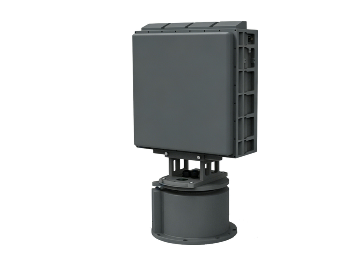
Need Counter-Drone Radar for Your Site?
CR series low-altitude surveillance radars detect RCS 0.01 m² drones at 3–10 km and classify targets by micro-Doppler — every track outputs with target class and confidence.