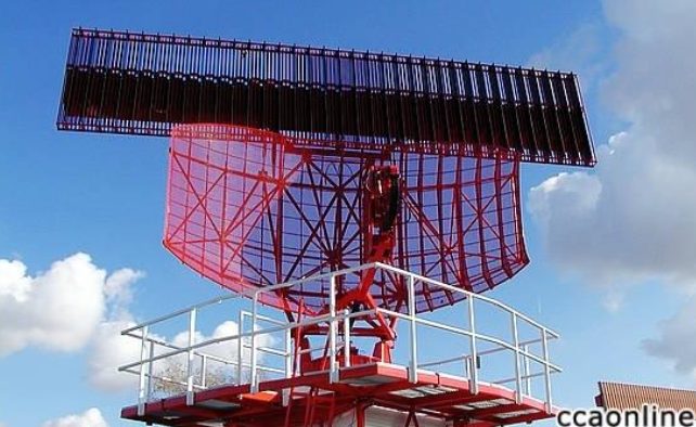
An airliner cruising at 35,000 feet never becomes a “missing dot” on a controller’s screen — behind it stands a layered system of radars and surveillance. Aviation is the most mature civilian application in this 16-part Radar Applications series, and also the most finely divided: each class of radar owns one slice of airspace and one kind of problem.
Primary and Secondary Radar: Independent Detection vs. Cooperative Reply
The first layer of ground-based ATC radar is primary surveillance radar (PSR): it transmits pulses into the sky and detects aircraft by the echoes reflected off the airframe — it sees the target whether or not the aircraft cooperates, and that independence is the bedrock of flight safety. The second layer is secondary surveillance radar (SSR): the ground station transmits an interrogation, and the aircraft’s transponder replies with a coded message carrying its flight identity and barometric altitude. SSR reaches farther and carries richer information, but it depends on the aircraft having its transponder switched on. This complementary relationship — and where ADS-B fits into it — is the starting point of modern ATC system design. Secondary radars almost universally use monopulse angle measurement, extracting precise bearing from a single interrogation.
Dividing the Sky: Terminal, En-Route, and Surface
The US FAA system is the classic reference. The airport surveillance radar (ASR) sits beside major airports, covering the terminal airspace for tens to over a hundred kilometers around the field and sequencing aircraft for approach. The air route surveillance radar (ARSR) is more powerful and sees farther, watching the vast en-route airspace between cities. Down on the ground, the airport surface radar (SMR/ASDE-X) works at short, near-millimeter wavelengths with resolution fine enough to tell apart aircraft, vehicles, and even large equipment on the runway — in fog and at night it is the main defense against runway incursions. Automation systems then fuse these layers into one unified air traffic picture.
The Airborne Family: Radars That Fly With the Aircraft
Aircraft carry radars of their own. The airborne weather radar in the nose scans the route ahead for severe convection and precipitation so pilots can deviate around dangerous weather — it works in X-band, is sensitive to raindrop-sized particles, and needs a radome made of wave-transparent material. The radio altimeter is essentially a downward-looking frequency-modulated continuous-wave radar that reports true height above ground, a critical instrument for autoland and low-level flight — the FMCW principle has been in service here for over half a century. Military terrain-following radars let aircraft hug valleys automatically, and collision-avoidance radars aimed at drones and eVTOL urban air mobility are now compressing the same capability into kilogram-scale packages.
After ADS-B, Does Radar Still Matter?
ADS-B lets an aircraft determine its position by satellite navigation and broadcast it; ground receivers cost far less than radar. Its principle defines it as “cooperative surveillance”: cheap, precise, and information-rich — but if the aircraft’s transmitter is off, there is nothing. So the modern ATC answer is fusion: ADS-B as the workhorse, secondary radar as backup, and primary radar catching the “non-cooperative target” — which covers both a failed transponder and a drone intruding into airport airspace. The design philosophy is plain to see: any single means will fail eventually; layered redundancy is what safety looks like.
Closing Thoughts
The story of ATC radar teaches a simple lesson: safety-critical systems do not trust a single sensor. Primary and secondary, terminal and en-route, ground and airborne — every layer divides the work and backs up the others. This architecture of “layering by airspace, dividing by degree of cooperation” is now being borrowed wholesale by low-altitude economy surveillance: drone traffic management must solve exactly the problems ATC radar solved decades ago.
Further Reading
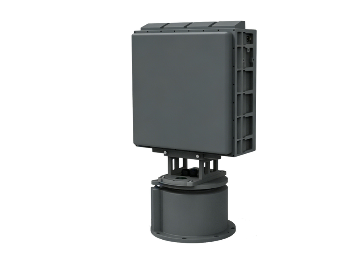
Need Counter-Drone Radar for Your Site?
CR series low-altitude surveillance radars detect RCS 0.01 m² drones at 3–10 km and classify targets by micro-Doppler — every track outputs with target class and confidence.