“How far can counter-UAS radar detect drones?” is one of the most common procurement questions. It is also one of the easiest to misunderstand. Radar detection range is not a standalone number. It is the result of target characteristics, radar design, environment, installation geometry, processing, and alert rules.
If a supplier gives only a distance in kilometers without explaining the drone type, altitude, radar cross section, background clutter, detection probability, and false-alarm rate, the number has limited engineering value. The better question is: at my site, against the drones I care about, how far can the system form a stable track and how much confirmation and response time will it give operators?
Why Maximum Range Is Not Enough
Maximum detection range usually means the farthest distance at which a radar first detects a target under a particular test condition. It can be a useful reference, but it is not the same as usable range. One occasional detection point may not become a track, and it may not support a reliable alert.
For security projects, stable track range and effective alert range are more important. A stable track means the radar can keep following the target and update its direction, speed, height, and movement history. Effective alert range means the system can connect that track with zone rules, threat level, camera cueing, and operator workflow.
Do not ask only, “What is the maximum range?” Ask whether the target can be tracked at that distance, what false-alarm behavior is expected, whether an EO/IR camera can be cued, and how much time the operator has before the target reaches the protected area.
Target Size and RCS Matter
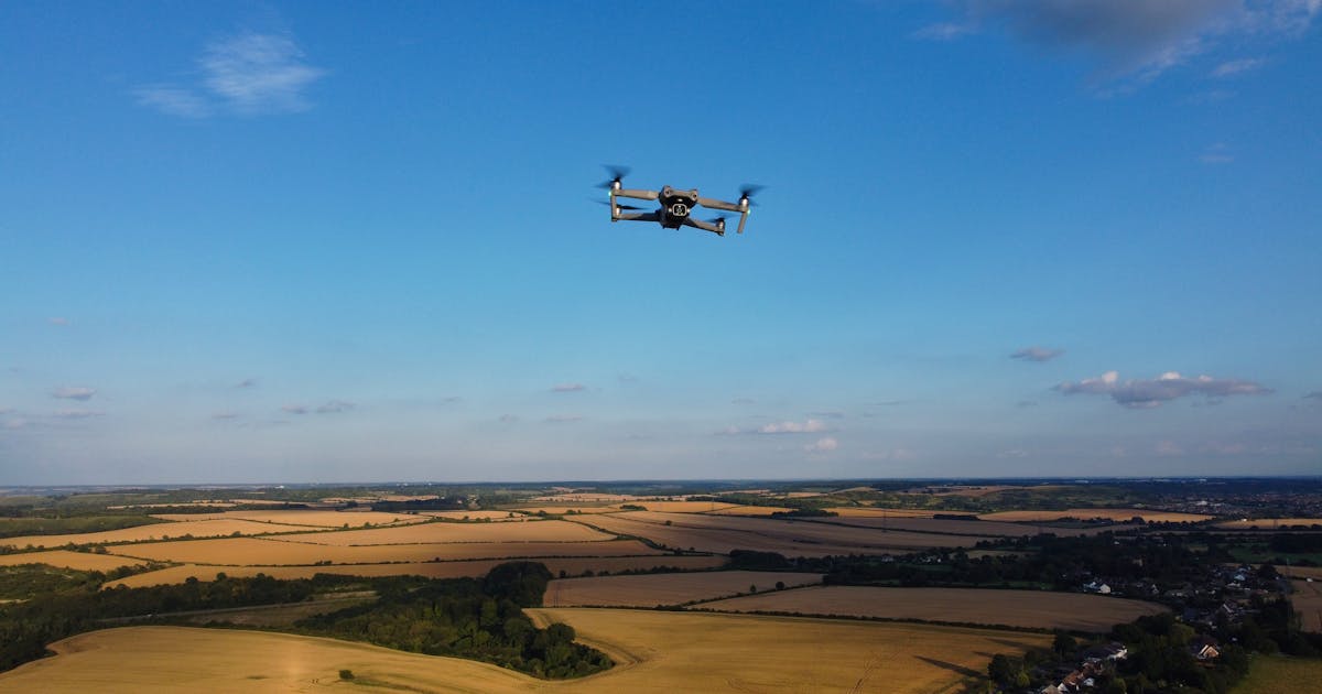
A drone is not one standard target. Consumer quadcopters, racing drones, fixed-wing UAVs, heavy-lift multirotors, and larger low-altitude aircraft have different size, material, shape, and movement patterns. Radar sees electromagnetic reflection, not visual size.
Radar cross section, or RCS, describes how strongly a target reflects radar energy. Small drones often have low and changing RCS. Their return can change with aspect angle, attitude, payload, rotor state, and construction material.
This means the same radar may detect different drones at very different ranges. If a supplier quotes a range, ask what target model or RCS assumption the number is based on.
Altitude and Line of Sight Decide What Can Be Seen
Low-altitude targets are difficult because they are easy to block. Buildings, trees, terrain, walls, metal structures, and ground features can all affect radar line of sight. Even a capable radar cannot detect a target hidden behind a building.
Mounting height also matters. A radar installed too low may lose low-altitude coverage behind nearby structures. A radar installed higher may need attention to near-field blind zones, downward viewing geometry, structural stability, and maintenance access. Good site design places the radar according to priority sectors, blocked areas, protected assets, and likely target routes.
A radar that performs well on an open test range will not automatically deliver the same range in an urban campus, port, factory, or mountainous site.
Clutter and False Alarms Change Usable Range
Low-altitude scenes contain clutter: vehicles, birds, trees, rain, waves, construction equipment, cranes, roads, roof edges, and ground reflections. The radar must find possible drones inside that background.
If filtering is too loose, the radar may look sensitive but generate too many false alarms. If filtering is too strict, small or slow drones may be suppressed. Usable range is often the distance after balancing detection probability and false-alarm rate.
This is why the same “several kilometers” claim can mean different things at different sites. An open field, a coastline, an airport perimeter, a dense urban area, and an industrial park all have different clutter behavior.
Track Range Is More Important Than First Detection
For operators, one radar point is not enough. The system needs to maintain a track, decide whether the target is real, determine whether it is entering a warning zone, and support camera cueing and event review.
It helps to separate range into several layers:
- maximum detection range: the farthest first detection point;
- stable track range: the distance where the radar can keep following the target;
- reliable alert range: the distance where the system can alarm at an acceptable false-alarm rate;
- response range: the distance that gives the team enough time to confirm and act.
In real projects, the last three are usually more important than the first.
Weather and Frequency Band Also Matter
Rain, fog, snow, humidity, dust, and strong wind can change radar conditions. They may reduce signal margin, and they can also change the clutter scene. Higher frequency bands often require more careful evaluation of rain loss and propagation margin, although the actual impact depends on range, power, antenna, waveform, and processing.
Weather does not mean radar cannot work. It means performance should be validated against the operating environment. For airports, coastal facilities, mountainous sites, energy facilities, and critical infrastructure, environmental conditions should be part of testing and acceptance.
What Buyers Should Ask
Instead of asking only for a kilometer number, ask:
- What drone model, size, or RCS is the range based on?
- Is the target approaching, crossing, hovering, or moving away?
- What altitude, background environment, and weather were used?
- What detection probability and false-alarm rate correspond to the range?
- What are the maximum detection range and stable track range separately?
- Can the system cue an EO/IR camera at that distance for confirmation?
- How will range change with buildings, trees, water, roads, or terrain?
- Can the supplier support site testing or coverage analysis from site drawings?
These questions turn a marketing range into an operational range.
Conclusion
There is no condition-free answer to how far a counter-UAS radar can detect drones. Larger targets, higher altitude, clean background, and good line of sight usually improve range. Smaller, lower, slower targets in complex environments require more cautious evaluation.
Buyers should focus not only on the farthest detection point, but on stable tracking, false-alarm control, confirmation workflow, and response time in the real site. Range becomes meaningful only when it is tied to target, environment, and operations.